Radar Interferometry: Data Interpretation and Error Analysis - Ramon F. Hanssen

-30% ar kodu BOOKS
Piegāde 17-23 darba dienu laikā
30 dienu atgriešanas politika
This book is the product of five and a half years of research dedicated to the und- standing of radar interferometry, a relatively new space-geodetic technique for m- suring the earth¿s topography and its deformation. The main reason for undertaking this work, early 1995, was the fact that this technique proved to be extremely useful for wide-scale, fine-resolution deformation measurements. Especially the i ... Pilns apraksts
Jums varētu patikt arī

Biology: A Global Approach, Global Edition
Neil Campbell, Rebecca Orr, Lisa Urry, Peter Minorsky, Michael Cain, Jane Reece, Steven Wasserman
-30% ar kodu BOOKS
Piegādātāja noliktavā

Six Not-so-easy Pieces: Einstein's Relativity, Symmetry, and Space-Time
Richard P. Feynman, Robert B. Leighton, Matthew Sands
-30% ar kodu BOOKS
Piegādātāja noliktavā

Six Easy Pieces: Essentials of Physics Explained by Its Most Brilliant Teacher
Richard P. Feynman, Robert B. Leighton, Matthew Sands
-30% ar kodu BOOKS
Piegādātāja noliktavā

Behave: The Biology of Humans at Our Best and Worst
-30% ar kodu BOOKS
Piegādātāja noliktavā

Determined: The Science of Life Without Free Will
-30% ar kodu BOOKS
Piegādātāja noliktavā
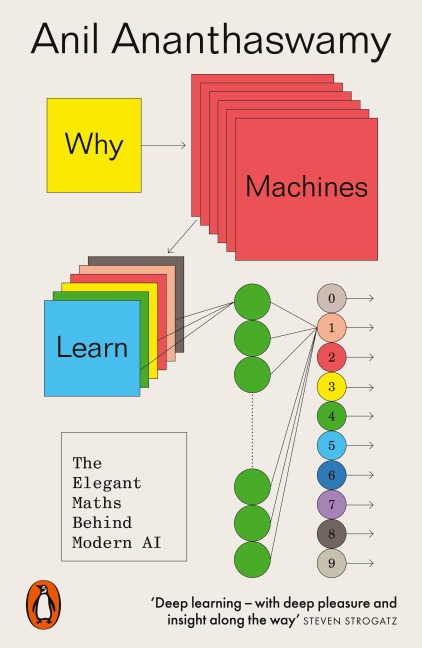
Why Machines Learn: The Elegant Maths Behind Modern AI
-30% ar kodu BOOKS
Piegādātāja noliktavā


The Age of Alchemy: How Early Innovators Shaped Modern Chemistry
-30% ar kodu BOOKS
Piegādātāja noliktavā

The Secrets of our DNA: How Genetics has Changed the World
-30% ar kodu BOOKS
Piegādātāja noliktavā

Janeway's Immunobiology
Leslie J. Berg, Kenneth Murphy, Casey Weaver
-30% ar kodu BOOKS
Piegādātāja noliktavā

Why We Sleep: Unlocking the Power of Sleep and Dreams
-30% ar kodu BOOKS
Noliktavā

Factfulness: Ten Reasons We're Wrong About the World--and Why Things Are Better Than You Think
Ola Rosling, Anna Rosling Rönnlund, Hans Rosling
-30% ar kodu BOOKS
Piegādātāja noliktavā

The Light Eaters: How the Unseen World of Plant Intelligence Offers a New Understanding of Life on Earth
-30% ar kodu BOOKS
Piegādātāja noliktavā
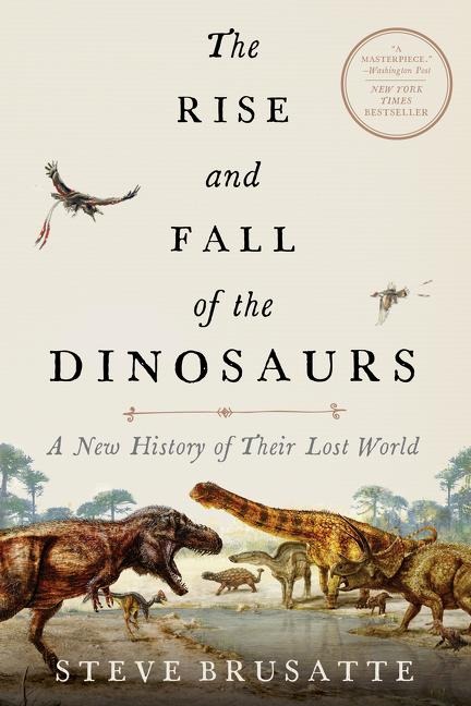
The Rise and Fall of the Dinosaurs: A New History of a Lost World
-30% ar kodu BOOKS
Piegādātāja noliktavā
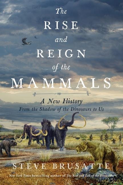
The Rise and Reign of the Mammals: A New History, from the Shadow of the Dinosaurs to Us
-30% ar kodu BOOKS
Piegādātāja noliktavā

Learn Faster, Perform Better: A Musician's Guide to the Neuroscience of Practicing
-30% ar kodu BOOKS
Piegādātāja noliktavā

Beyond Inheritance: Our Ever-Mutating Cells and a New Understanding of Health
-30% ar kodu BOOKS
Piegādātāja noliktavā


The Feynman Lectures on Physics. The New Millennium Edition
Matthew Sands, Robert Leighton, Richard Feynman
-30% ar kodu BOOKS
Piegādātāja noliktavā

How to Solve it: A New Aspect of Mathematical Method
-30% ar kodu BOOKS
Piegādātāja noliktavā
Aprašymas
This book is the product of five and a half years of research dedicated to the und- standing of radar interferometry, a relatively new space-geodetic technique for m- suring the earth¿s topography and its deformation. The main reason for undertaking this work, early 1995, was the fact that this technique proved to be extremely useful for wide-scale, fine-resolution deformation measurements. Especially the interf- ometric products from the ERS-1 satellite provided beautiful first results¿several interferometric images appeared as highlights on the cover of journals such as Nature and Science. Accuracies of a few millimeters in the radar line of sight were claimed in semi-continuous image data acquired globally, irrespective of cloud cover or solar illumination. Unfortunately, because of the relative lack of supportive observations at these resolutions and accuracies, validation of the precision and reliability of the results remained an issue of concern. From a geodetic point of view, several survey techniques are commonly available to measure a specific geophysical phenomenon. To make an optimal choice between these techniques it is important to have a uniform and quantitative approach for describing the errors and how these errors propagate to the estimated parameters. In this context, the research described in this book was initiated. It describes issues involved with different types of errors, induced by the sensor, the data processing, satellite positioning accuracy, atmospheric propagation, and scattering character- tics. Nevertheless, as the first item in the subtitle ¿Data Interpretation and Error Analysis¿ suggests, data interpretation is not always straightforward.
Vairāk informācijas
| Autors | Ramon F. Hanssen |
|---|---|
| Izdevējs | Springer Netherlands |
| Series | Remote Sensing and Digital Image Processing |
| Izlaides gads | 2001 |
| Vāka tips | Cietais vāks |
| EAN | 9780792369455 |